Infrastructure & asset documentation · Arizona
Record the asset without taking it out of service.
Bridges, vertical assets, plants and corridors, documented in three dimensions from the air and, where it is reachable on foot, from the ground. The result is a measurable record an engineer or an asset owner can work from without returning to the site.
What we document
Assets that are awkward to reach, expensive to close, or old enough to matter.
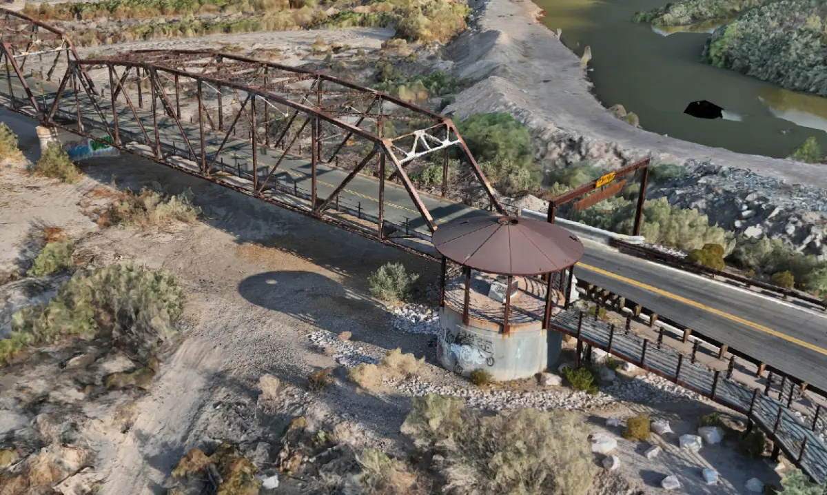
- BRIDGESSteel and concrete structures recorded in full, including geometry under the deck and out over water that conventional access cannot reach economically.
- VERTICAL ASSETSTowers, monopoles and stacks documented from the air, producing an inventory and condition record of mounted equipment with no climb and no downtime.
- PLANTS & CORRIDORSIndustrial facilities, utility corridors and linear assets captured as measurable 3D records tied to a stated reference frame.
- HERITAGEHistoric structures recorded before intervention, with an explicit statement of what was and was not captured.
A geospatial mapping product. Not a substitute for a structural assessment or for work requiring a licensed professional.
Multi-source capture, one record
Aerial photogrammetry covers the whole structure. Terrestrial LiDAR fills close-range detail on portions that can be reached on foot. Both land in a single georeferenced model, positioned with GNSS and subjected to independent quality-control checks before it is delivered.
Every delivery states what was not captured. An owner who is not told a space is unmapped will assume it was mapped, and that assumption is how bad records get made.
A vertical asset, documented from the air
A communications monopole with sectored arrays was recorded in 3D from close-range aerial capture, producing an inventory and condition record of the equipment mounted on the structure. No climber, no site outage. See the reconstruction.
Tell us what the data has to support.
That answer sets the tier, the approach and the price. Fifteen minutes on the phone is usually enough to settle it.