Construction documentation · Metro Phoenix
A dated record of the site, every time it changes.
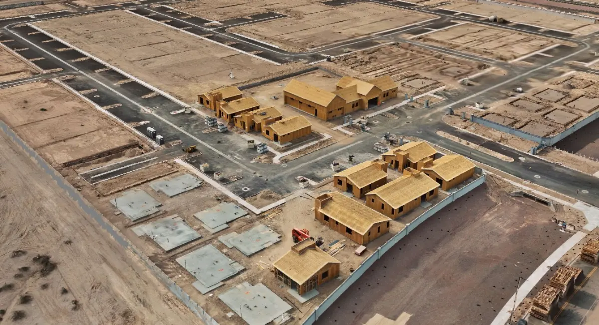
Construction progress documentation for developers, contractors and design teams across Metro Phoenix and the West Valley. Each visit produces a georeferenced 3D record of the site as it stood that day, measurable and comparable against the one before it.
What it produces
What arrives after each visit.
- IMAGERYOrthomosaic imagery of the whole site at a stated ground sample distance, plus obliques for context.
- GEOMETRYPoint cloud, elevation and terrain models, contours and a textured 3D site model.
- QUANTITIESEarthwork volumes and cut and fill between epochs, computed from the models rather than estimated from photographs.
- INTEGRATIONGIS-ready and CAD-ready deliverables in the formats your team already opens.
A geospatial mapping product. Not a substitute for work requiring a licensed professional.
Why a dated record is worth paying for
Most disputes on a build come down to what the site looked like on a particular day, and most sites have nothing but phone photos to answer with. A controlled capture answers it with geometry, at a position anyone can check.
Conditions under a slab stop existing the moment it is poured. Captured beforehand, they stay available for the life of the asset.
Recurring visits are priced as a program rather than as a series of one-off flights, which is what makes a monthly cadence affordable.
Which tier a build needs
If anyone will measure from the result — quantities, elevations, positions — it is Verified Capture, controlled and independently validated. If the imagery is for leasing, updates and marketing, Visual Capture does the job at around half the cost. We will tell you which one applies, including when it is the cheaper one.
Tell us what the data has to support.
That answer sets the tier, the approach and the price. Fifteen minutes on the phone is usually enough to settle it.