Property & land · West Valley and Metro Phoenix
Some properties cannot be photographed from the ground.
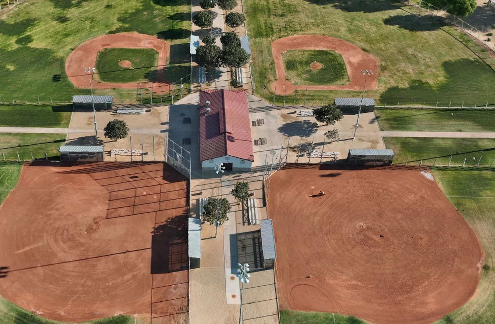
Acreage, vacant land and development parcels all have the same problem: standing at the gate tells a buyer almost nothing. From the air, the shape of the parcel, the access, the frontage and what surrounds it read in a single frame.
What this answers for a buyer
- How big it actually is, and what shape it is
- Where the access is and what the frontage looks like
- What is next door, and what is coming next door
- Terrain, drainage lines and vegetation across the whole parcel
- How it sits relative to roads, utilities and development
What arrives
- Edited aerial stills, sized for a listing and for print
- Aerial video cut to length for the platform it is going on
- Overhead parcel imagery, annotated when a parcel needs explaining
- Ground and interior imagery when the property has structures
Who this is for
Agents and brokers listing land or acreage, owners marketing a parcel, and developers who need to show a site to partners who are not going to drive out to it.
Marketing imagery. Nothing on this page is a boundary determination, and nothing in a listing capture should be used to take a measurement. When a parcel needs measurable geometry, that is mapping work and we fly it differently.
Turnaround
Most listings do not have three weeks.
A single parcel is usually one visit and a short edit. Tell us the address and when it needs to be live, and the quote comes back with a delivery date on it.
Properties inside the Luke Air Force Base airspace, a large part of the West Valley, are schedulable on short notice here, which is not true of every operator in the area.
Related
Where this fits.
- SERVICEProperty and land imagery
- LOCALBuckeye and the West Valley
- MEASURABLEWhen the parcel needs measurable data
Got a listing that needs air?
Send the address and the date it has to be live. You will have a written quote with a delivery date on it.